
Headline:
Tornado Warning issued April 5 at 5:38PM CDT until April 5 at 6:30PM CDT by NWS Nashville TN
Event:
Tornado Warning
Urgency:
Immediate
Effective:
April 5, 2025 - 3:38pm
Expires:
April 5, 2025 - 4:30pm
Description:
TOROHX
The National Weather Service in Nashville has issued a
* Tornado Warning for...
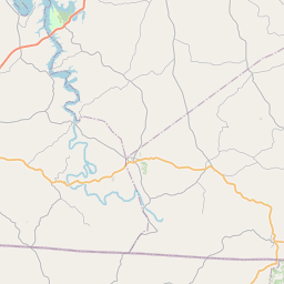
Northwestern Clay County in Middle Tennessee...
Central Macon County in Middle Tennessee...
* Until 630 PM CDT.
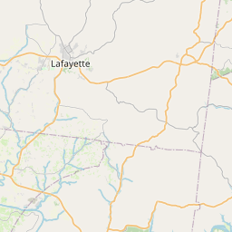
* At 537 PM CDT, a severe thunderstorm capable of producing a tornado
was located near Westmoreland, or 7 miles west of Lafayette, moving
northeast at 55 mph.
HAZARD...Tornado.
SOURCE...Radar indicated rotation.
IMPACT...Flying debris will be dangerous to those caught without
shelter. Mobile homes will be damaged or destroyed.
Damage to roofs, windows, and vehicles will occur. Tree
damage is likely.
* This dangerous storm will be near...
Lafayette around 545 PM CDT.
Other locations impacted by this tornadic thunderstorm include Moss,
Bugtussle, and Boles.
Instruction:
TAKE COVER NOW! Move to a basement or an interior room on the lowest
floor of a sturdy building. Avoid windows. If you are outdoors, in a
mobile home, or in a vehicle, move to the closest substantial shelter
and protect yourself from flying debris.
Area Description:
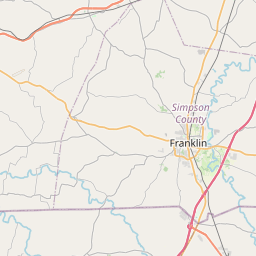
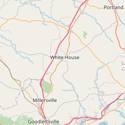
Clay, TN; Macon, TN
Forcast Office:
NWS Nashville TN


Leaflet | OSM Mapnik